Abstract
Pet Park proposes a recreational commons for animals and their owners on an underused public parcel in Borivali. Earth mounds, crawl tunnels, ramps and agility courses form the ground, while retained trees and marble benches provide shaded seating. The self-initiated proposal with Faizan Khatri and Devarsh Deth was presented to and approved by Mumbai’s municipal representatives.
Brief
Transform an underused public site into a dedicated canine agility park, balancing active play with shaded, comfortable space for handlers and neighbourhood visitors.
Project story
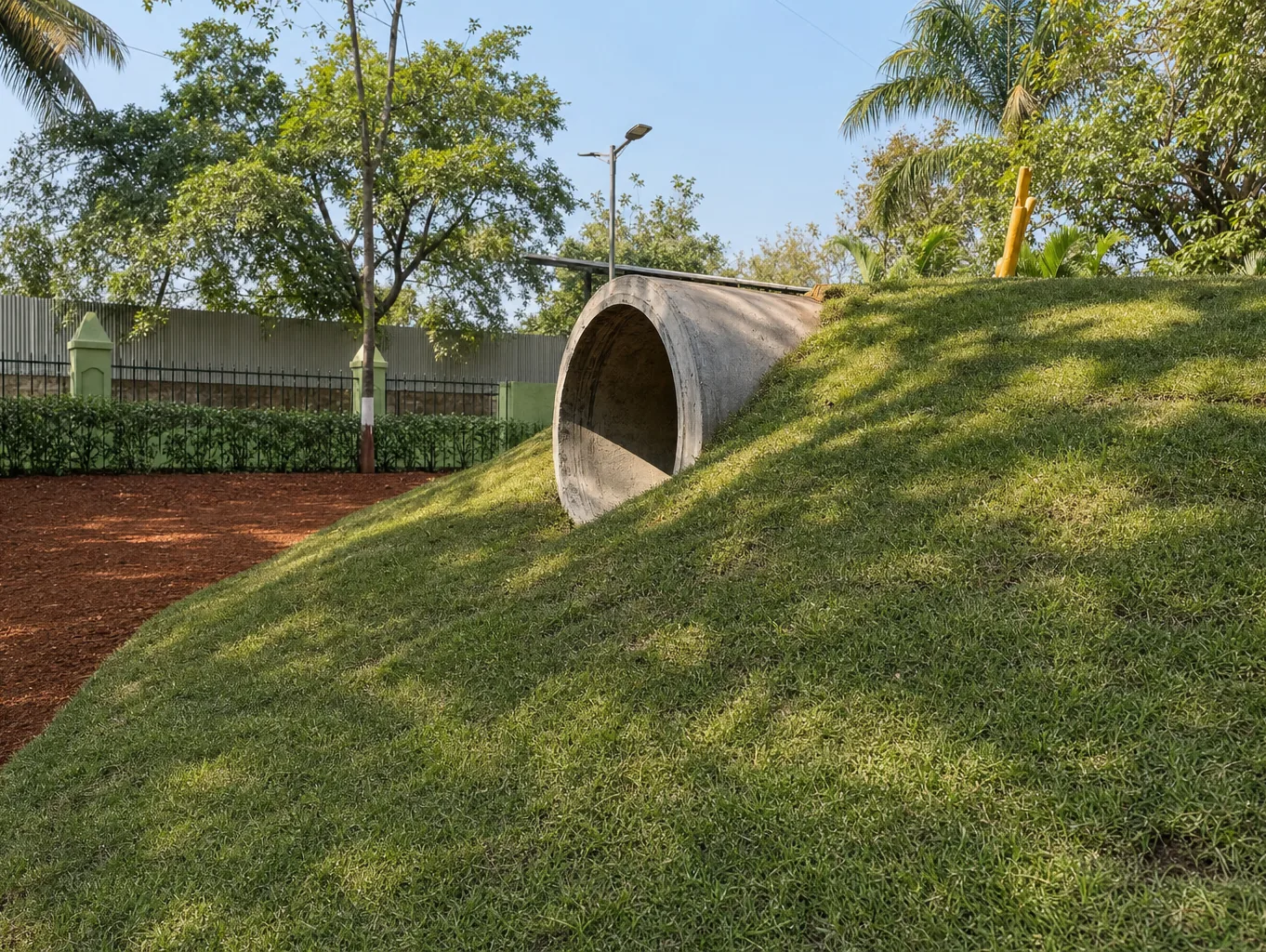
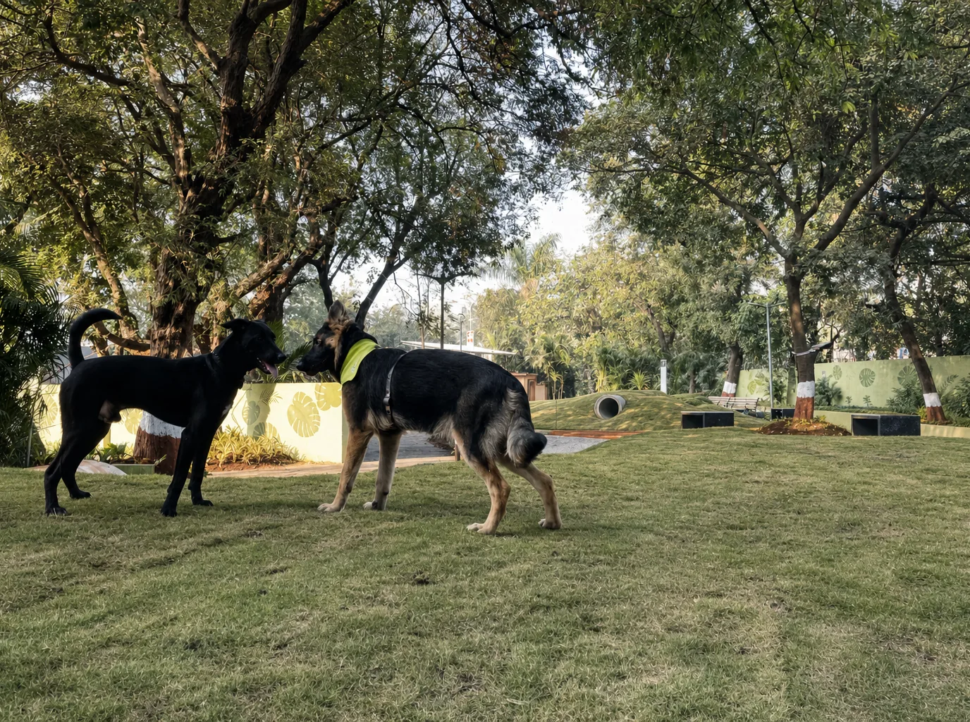
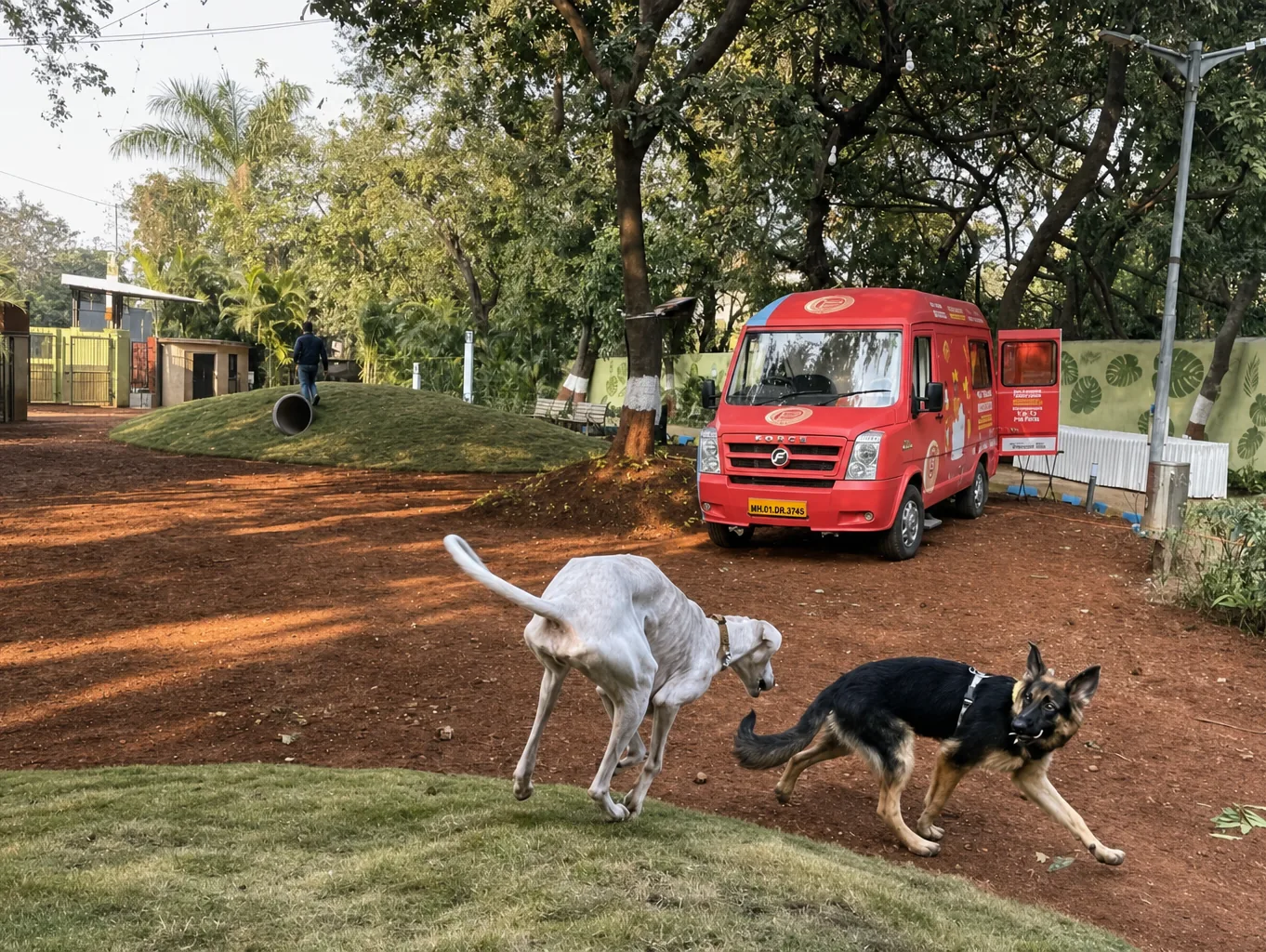
A civic landscape intervention designed for the Brihanmumbai Municipal Corporation (BMC) transforming an underused public parcel in Borivali into Mumbai’s premier dedicated pet park. The project rethinks the public ground, offering domestic animals and their owners a shared, high-functioning recreational commons carved out of dense suburban fabric.
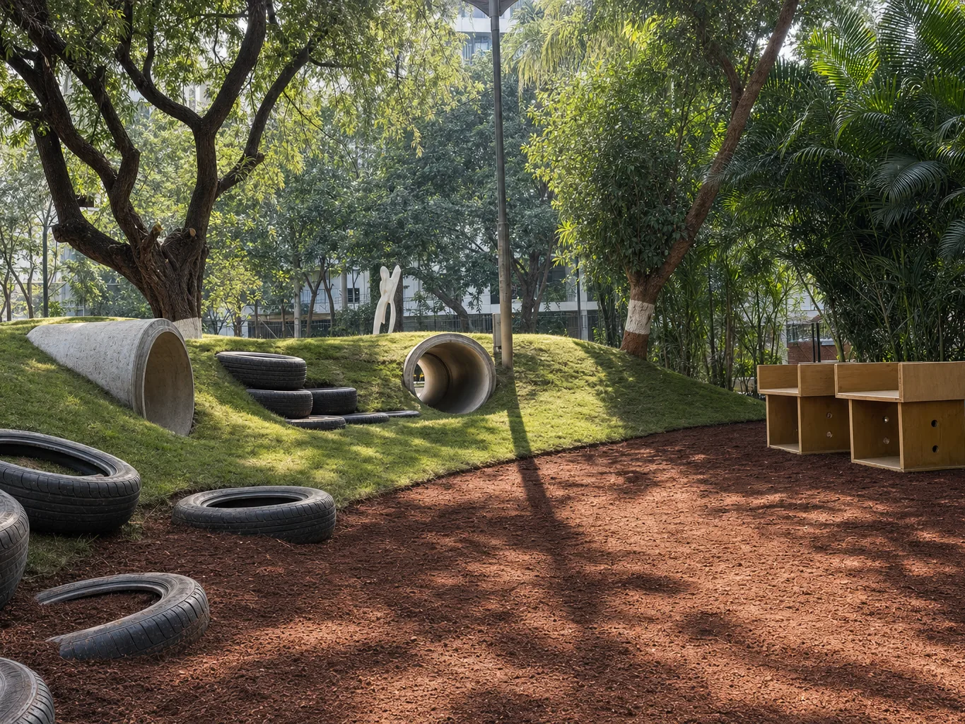
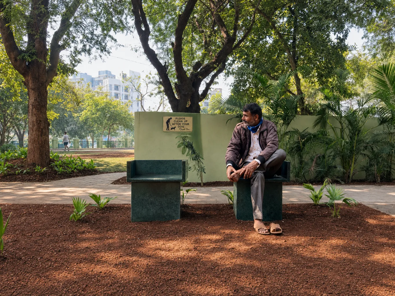
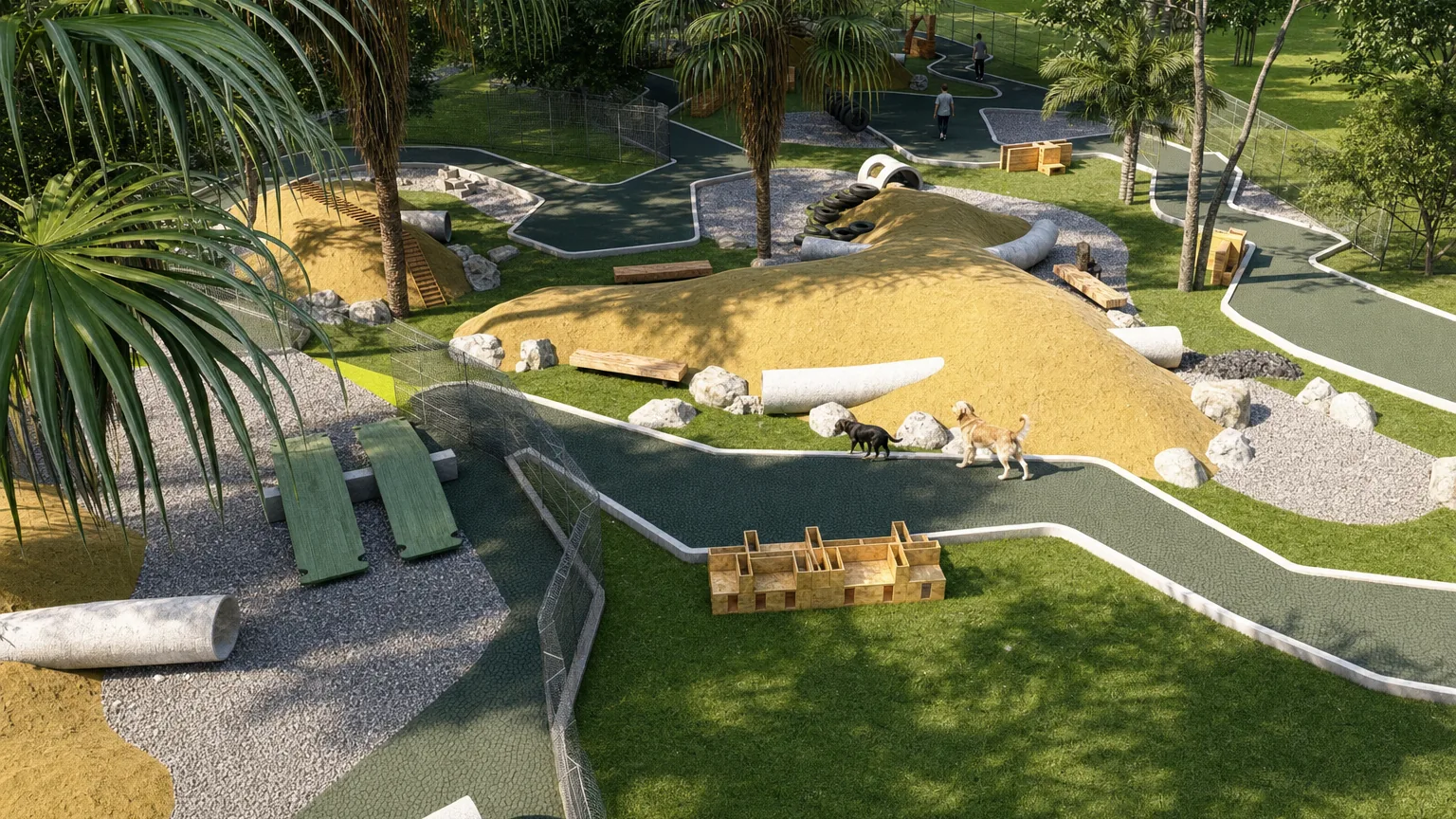
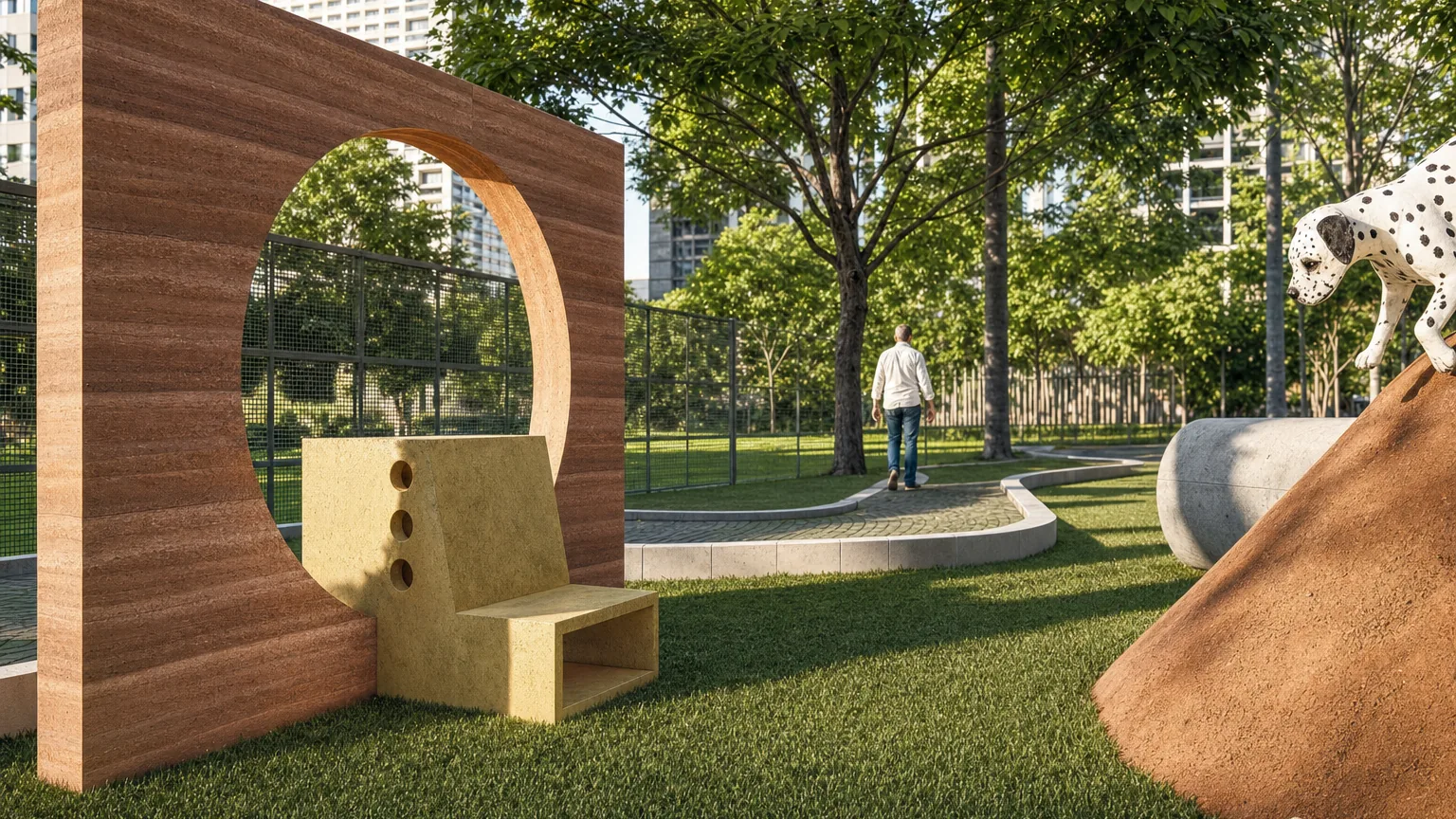
The ground plane is sculpted into a series of undulating earth mounds integrated with reinforced concrete crawl tunnels, timber ramps, stepping tires, and crushed aggregate play courses designed to encourage agility and exercise. Mature canopy trees are preserved and framed with solid green marble cube benches, creating cool, shaded seating nodes for handlers and neighborhood visitors along the perimeter.
Self-initiated with Faizan Khatri and Devarsh Deth, the project was officially presented to and approved by the Mayor of Mumbai and municipal corporators, establishing a replicable prototype for animal-friendly civic infrastructure across the metropolitan region.
Agility and rest share the ground
The plan connects exercise zones, circulation, planting and places to sit. Sculpted mounds and crawl tunnels give the dogs an active landscape while retained canopy trees provide shaded edges for their handlers.
Trace the perimeter path, then the smaller loops between planted areas, agility mounds and resting places.
From a flat plan to a shaped landscape
The isometric shows how the earth mounds, timber pods and perimeter paths work together. It connects the plan’s separate zones to the terrain and objects experienced on the ground.
The oblique view shows the height of the mounds and how the paths negotiate the planted terrain.
From proposal to public ground
Construction photographs show the earthworks and pipe tunnels taking shape. The model presentation and municipal meeting record the project’s civic setting alongside its physical making.